
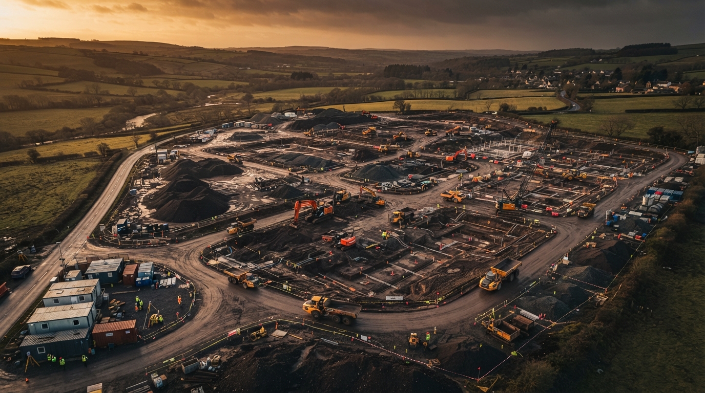
About North West Drone Surveys
Actionable data... NOT just pretty pictures.
Powered by DroneWorks - built to serve property and construction clients across Lancashire with centimetre accuracy and construction-grade safety.
Built on DroneWorks' experience
North West Drone Surveys is the construction and property-focused arm of DroneWorks - an established commercial drone operator serving clients across the UK since 2019.
We saw that construction, civil engineering and property clients needed more than aerial photography. They needed survey-grade data - cm accuracy, CAD-ready deliverables, volume calculations and roof plans - delivered by operators who understand site safety, planning requirements and engineering workflows.
So we built a focused brand around exactly that: three core services, commercial-grade equipment, and the credentials that construction clients and principal contractors expect. No hobbyist kit, no generic aerial content - just precise survey data, delivered safely.
Commercial-Grade Platform
DJI M350 RTK platform with Rock Robotic R3 Pro LiDAR
Enterprise-grade equipment designed for demanding survey work. RTK positioning for cm-level accuracy, dense LiDAR point cloud capture, and reliable performance in challenging conditions. The same class of equipment used by national mapping agencies and major infrastructure programmes.


Always Use A Qualified, Insured Drone Operator
Unlicensed or under-insured drone operators can't produce admissible survey data, don't carry the insurance your site requires, and can't operate safely around construction plant and personnel. If a contractor can't show you CAA authorisations, £5m+ public liability and a RAMS before they fly - don't let them on your site.
We tick every box. Every time.
What We Deliver
LiDAR / Topographic Surveys
Cm-accuracy land and topographic surveys for planning, groundworks and civil engineering.
Learn more3D Inspection & CAD Roof Plans
Drone-captured 3D models and CAD-ready roof plans for commercial buildings, solar PV installers and developers.
Learn moreEarthworks & Stockpile Surveys
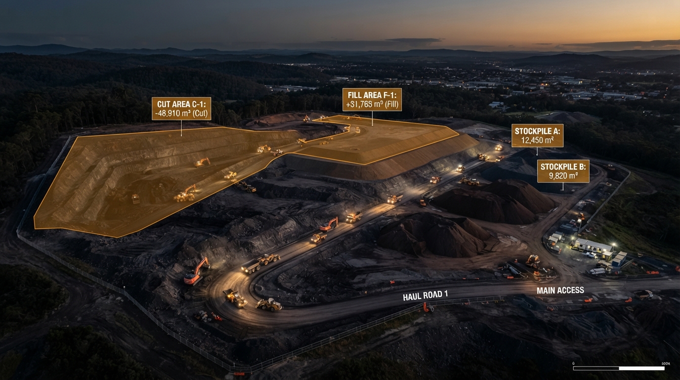
Volumetric measurement for cut/fill, stockpile monitoring and progress tracking on construction sites.
Learn moreVeteran-Owned Since 2019
As a veteran-owned business, we bring military-grade discipline to every operation. Pre-flight planning, risk assessment, methodical execution and post-operation review - the same structured approach that keeps complex operations safe and successful, applied to every survey we fly.

Based In Preston, Serving The North West
Our Preston base puts us at the centre of Lancashire, with rapid access to Blackpool, Chorley and Lancaster, and wider reach into Cumbria and Greater Manchester, Yorkshire and the Midlands.
Let's Talk About Your Project
Whether you need a one-off survey or ongoing site monitoring, we'll scope it properly and deliver on time.