
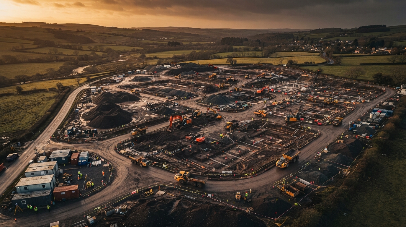
Drone Surveys in Yorkshire
We extend our drone survey services into Yorkshire for large-scale infrastructure projects, rural land surveys and commercial PV roof inspections, bringing the same cm-accuracy LiDAR and rapid aerial capture that powers our Lancashire operations.
Serving Yorkshire
Yorkshire's scale - from the Yorkshire Dales and North York Moors to the urban corridors of Leeds, Bradford and Sheffield - creates demand for aerial surveying where ground access is difficult and site sizes are large. Our LiDAR platform's vegetation penetration and wide-area coverage make it ideal for Yorkshire's mix of rural upland terrain and active construction regions.
Services Available In Yorkshire
LiDAR topographic surveys for rural and upland sites, earthworks and stockpile monitoring for infrastructure and quarry projects, and 3D roof inspections with CAD plans for commercial PV installations across Yorkshire.
Operating Across Yorkshire
50-mile service radius from our Preston hub
Full Service Details
LiDAR / Topographic Surveys
Cm-accuracy land and topographic surveys for planning, groundworks and civil engineering.
Learn more3D Inspection & CAD Roof Plans
Drone-captured 3D models and CAD-ready roof plans for commercial buildings, solar PV installers and developers.
Learn moreEarthworks & Stockpile Surveys
Volumetric measurement for cut/fill, stockpile monitoring and progress tracking on construction sites.
Learn moreNeed A Drone Survey In Yorkshire?
Based in Preston, we mobilise across the wider North West. Get a tailored quote for your site.