
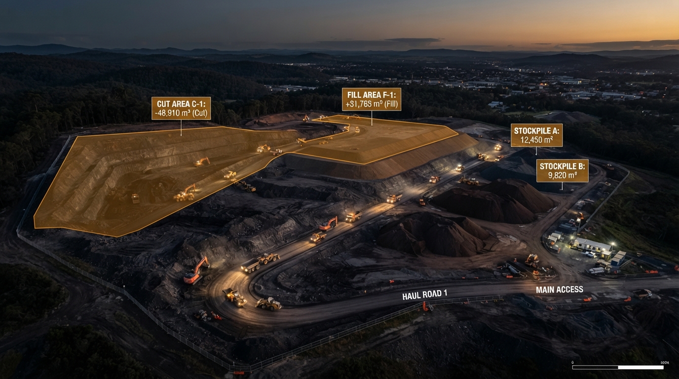
Earthworks & Stockpile Surveys
Volumetric measurement for cut/fill, stockpile monitoring and progress tracking on construction sites.
What This Service Delivers
We fly your site to capture dense aerial data and produce accurate volume calculations for cut/fill, stockpiles and earthworks progress - without shutting down the site.
Regular surveys let you track material movement, verify contractor quantities and report progress with independently measured data.
Our volumetric surveys are faster, safer and more cost-effective than traditional methods, and capture a complete visual record of site progress at the same time.
Who This Is For
Earthworks contractors, quarry operators, construction managers and developers who need accurate volume measurement, stockpile quantification or progress tracking.
At A Glance
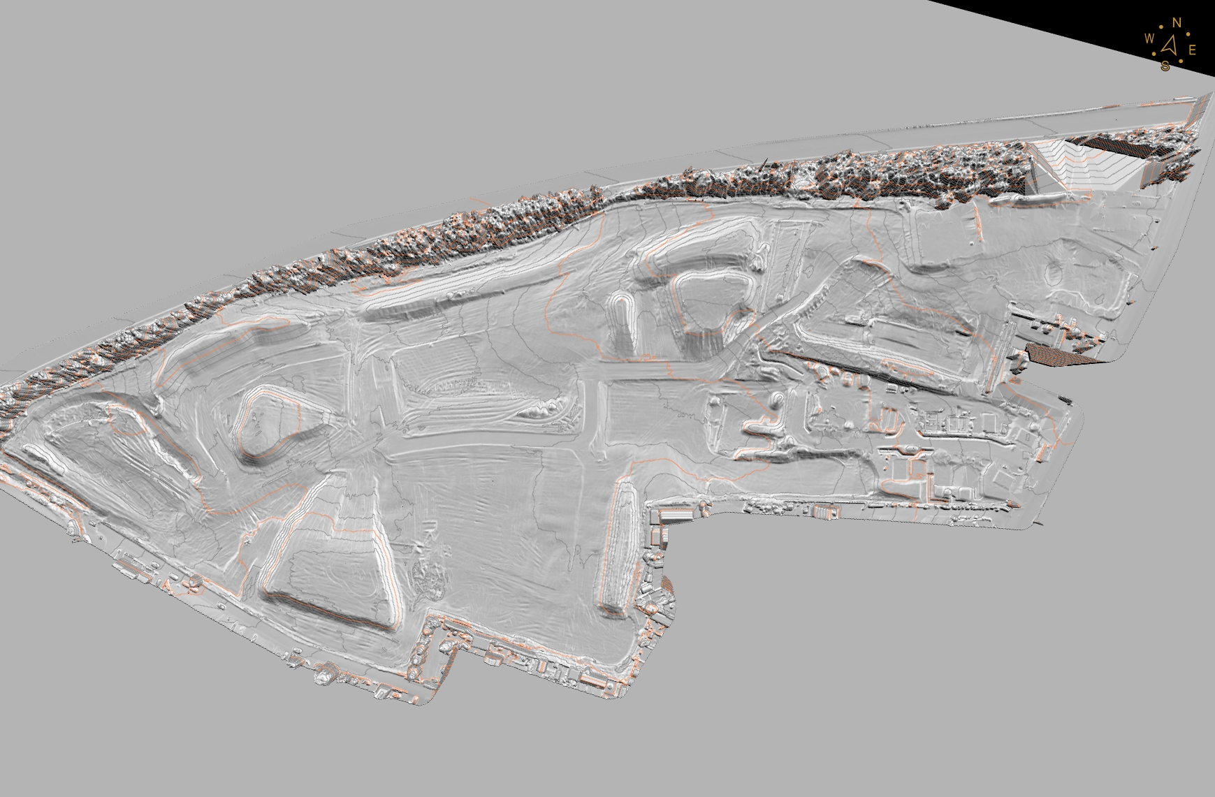
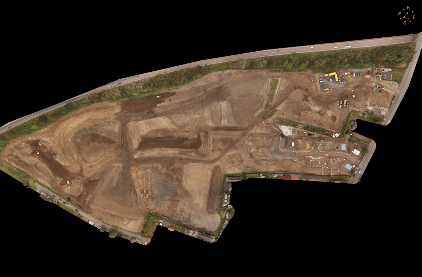
From Raw Data To Actionable Insight
Drag the slider to see how we transform raw site captures into clear, precise 3D models and point clouds.
How We Deliver
From enquiry to delivery, a clear process built around your project needs.
Site Brief
We confirm the site area, stockpile locations, survey frequency and your required output format.
Flight Planning
We plan the flight to capture the full site with overlapping imagery for complete 3D coverage.
Aerial Capture
High-resolution imagery is captured across the site, including all stockpiles, cut/fill areas and access routes.
Processing & Volumes
Imagery is processed into a 3D model, and volume calculations are generated for each stockpile or earthworks area.
Delivery
You receive volume reports, 3D models, orthomosaic site maps and progress imagery.
What You Receive
- Volume calculation reports per stockpile/area
- 3D site model
- Orthomosaic site map
- Cut/fill analysis
- Progress comparison imagery
- Exportable data (CSV, PDF report)
Equipment & Accuracy
| Specification | Detail |
|---|---|
| Volume Accuracy | 2-5% typical (site dependent) |
| Resolution | 1-3cm/pixel orthomosaic |
| Platform | DJI M350 RTK |
| Survey Frequency | One-off to weekly monitoring |
| Output Formats | PDF report, CSV, DWG |
| 3D Model | OBJ, LAS, RCP |
Why Drone Over Traditional Methods
A direct comparison for this service.
| Feature | Drone Survey | Traditional Method |
|---|---|---|
| Site Disruption | None - aerial capture | Requires access and sometimes shutdown |
| Safety Risk | Minimal | Surveyors around moving plant |
| Data Captured | Full site 3D model + imagery | Spot measurements only |
| Visual Record | Complete orthomosaic + progress photos | None |
| Cost Per Survey | Lower - faster capture | Higher - more labour time |
| Frequency | Weekly monitoring viable | Too costly for frequent surveys |
Earthworks & Stockpile Surveys Across Lancashire
Available in our core towns and wider North West coverage area.
Earthworks & Stockpile Surveys - Your Questions Answered
Can't find what you're looking for? See all FAQs or contact us.
Book A Earthworks & Stockpile Surveys
From £600. Every site scoped individually - get a tailored quote today.