
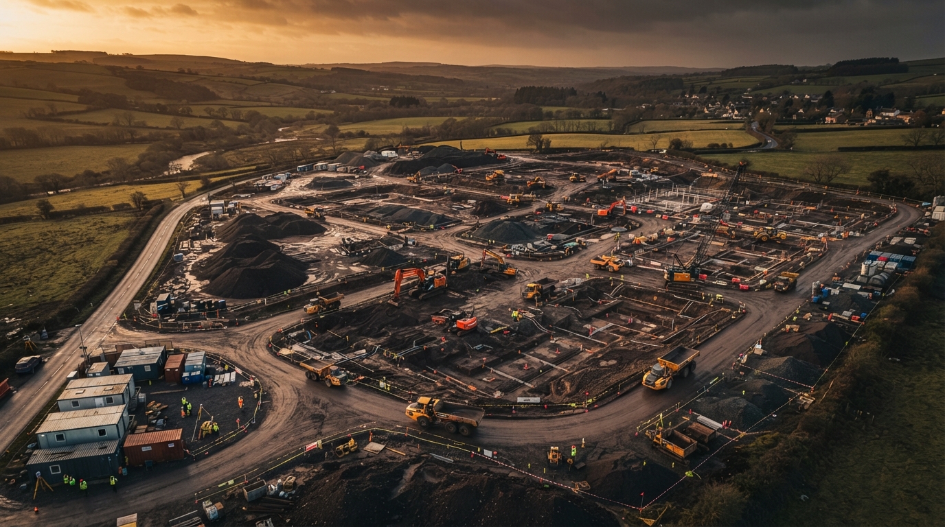
Drone Surveys in Cumbria
We extend our drone survey services across Cumbria for larger rural sites, infrastructure projects and remote terrain where LiDAR's vegetation penetration and aerial coverage deliver the greatest advantage over traditional methods.
Serving Cumbria
Cumbria's combination of rugged terrain, extensive rural land, infrastructure projects and renewable energy development makes it a natural extension of our Lancashire operations. From the Lake District fringes to the M6 corridor, our LiDAR platform handles the terrain that ground surveyors struggle to reach.
Services Available In Cumbria
LiDAR topographic surveys for rural and upland sites, earthworks monitoring for infrastructure projects, and 3D roof inspections for commercial and agricultural buildings.
Operating Across Cumbria
50-mile service radius from our Preston hub
Full Service Details
LiDAR / Topographic Surveys
Cm-accuracy land and topographic surveys for planning, groundworks and civil engineering.
Learn more3D Inspection & CAD Roof Plans
Drone-captured 3D models and CAD-ready roof plans for commercial buildings, solar PV installers and developers.
Learn moreEarthworks & Stockpile Surveys
Volumetric measurement for cut/fill, stockpile monitoring and progress tracking on construction sites.
Learn moreNeed A Drone Survey In Cumbria?
Based in Preston, we mobilise across the wider North West. Get a tailored quote for your site.